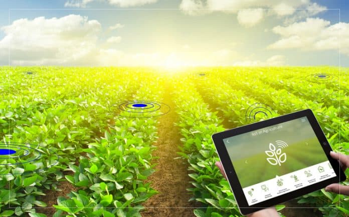
A research team specializes in the use of geospatial technologies and geographic information systems (GIS) to solve problems related to sustainable natural resource management and agro-hydrology. This team generally works at the intersection of several disciplines, such as environment, agriculture, hydrology and data sciences, and with an integration of artificial intelligence in data processing and resource management.
Team Leader
Dr Boulabeiz Mahrez
Email: mboulabeiz(at)univ-khenchela.dz
Team member
| First name and name | Last diploma | Rank | Speciality | Attachment structure |
| Bouzou Mourad Lazhar | Phd | Lecturer | Agronomy Science | U. Khenchela |
| Belkoum Noureddine | Phd | Lecturer | Ecology | U. Khenchela |
Research axes
- Mapping and monitoring of natural resources, Development of remote sensing models for the identification of degraded areas. Spatio-temporal monitoring of vegetation cover and agricultural land using geospatial data.
- Integrated water resources management, Geospatial modeling of watersheds for sustainable water management. Analysis and mapping of soil and groundwater salinization. Development of GIS-based decision support systems (DSS) for efficient allocation of water resources.
- Agro-hydrological planning and optimization, application of geostatistical techniques, and Simulation of the impacts of climate change on water resources and agricultural yields.
- Use of GIS and artificial intelligence, Design of predictive models based on neural networks. Automation of agricultural crop classification by machine learning.
- Preservation of sensitive areas and sustainable planning, Identification and protection of wetlands. Study of land use conflicts related to urban and agricultural growth.
- Integration of remote sensing and GIS for environmental monitoring; Monitoring of drought trends and detection of changes in land use and impact on natural resources. Spatio-temporal analysis of hydrological cycles for climate resilience solutions.
